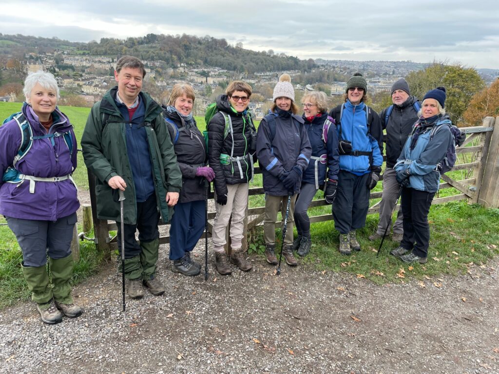
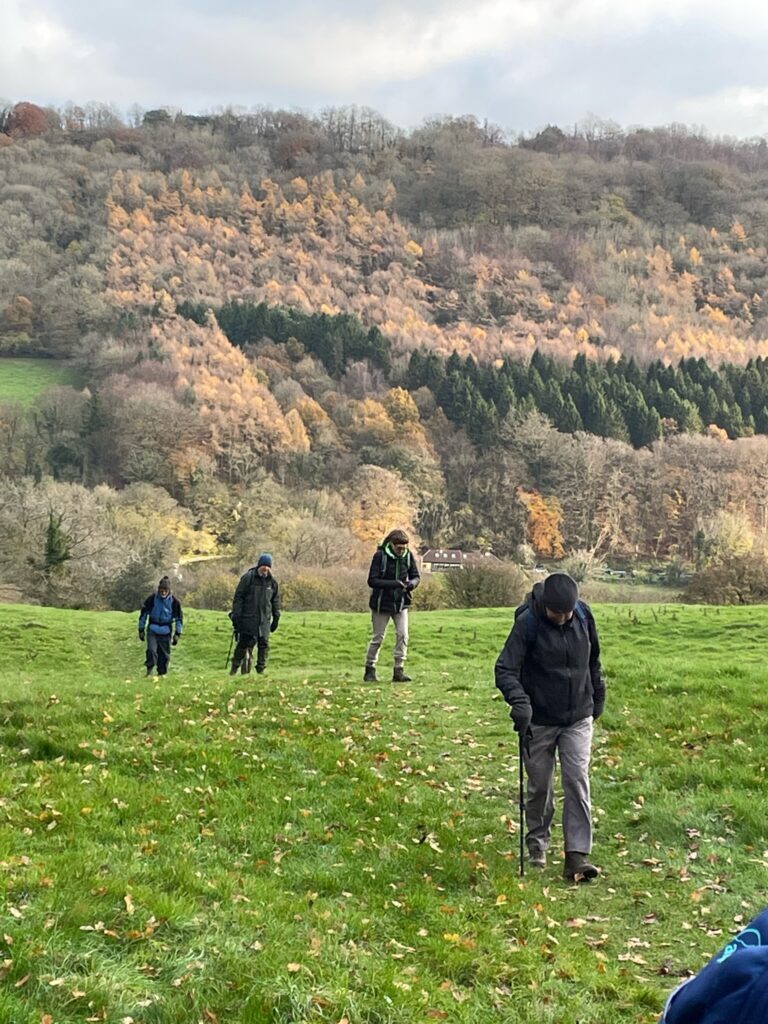
Starting at number 8 on the National Trust map of the Bath Skyline walk, we followed the official route round as far as number 5 on the map, before descending into the valley and walking along the canal as far as Dundas Aqueduct, where we stopped for lunch. After lunch we climbed the steepest part of Brassknocker Hill before returning to the starting point.
We had planned two different walks: one as just described, and a shorter one following the National Trust route along the top back to the starting point. However, all ten of us went on the longer walk, and we didn’t split into two groups at number 5 on the map as originally planned.

Although it started off quite chilly, it warmed up and some of us found ourselves slightly overdressed. The previous day had been quite foggy, and we had been concerned that we might not see anything. However, our fears weren’t realised, and we got to see all the views over Bath that we had been looking forward to.
For lunch, we sat on the benches on the Dundas Aqueduct. However, there weren’t enough benches on one side to seat us all, so we split into two groups and half of us sat on the benches on the opposite side of the canal. Although we were within spitting distance of one another, we were separated by 5 minutes walk, as we had to go along the canal to the nearest bridge and back again. It was suggested we could just leap across the canal, but people decided they would more likely end up very wet, so no-one tried it.

From Dundas Aqueduct, we climbed Brasskocker Hill, taking it quite steadily for the benefit of some of us who are a little less fit than others. Nevertheless, although very steep, it was actually quite short, and we arrived back at the staring point a bit earlier than expected.
A good time was had by all, with plenty of good conversations that were had along the way. This was the last walk of the year, and we are all looking forward to next year’s programme.
Great walk, thanks very much Izzy and Nigel